Sharing data at the intersection of conservation, justice, and community
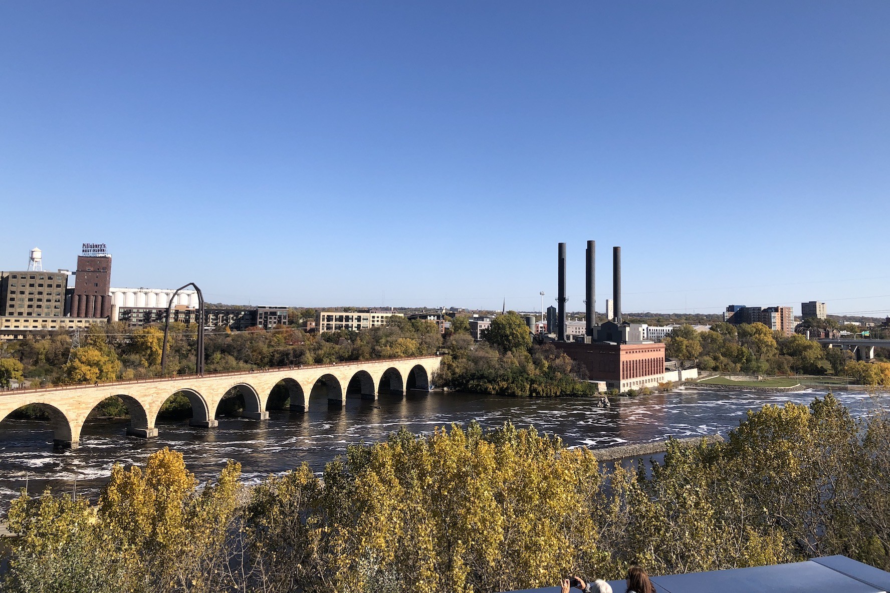
The U.S. contains 828 million acres of public land—and much of it is under threat due to economic trends and climate change. Headwaters builds the case for protecting it.
Partnership start date: 2015
Total funding committed: $613,126
Region: United States
Website: www.headwaterseconomics.org
What they do
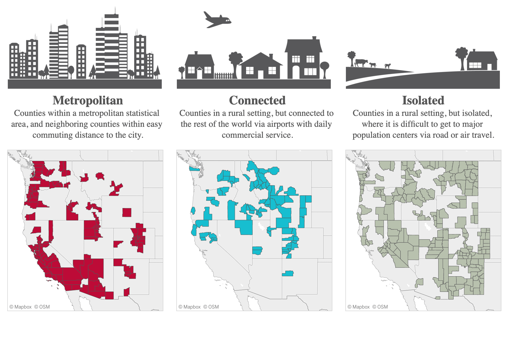
As a nonprofit research group, Headwaters Economics collects and analyzes data on land use issues in the U.S. They’ve worked on projects like proving the economic value of protected public lands, and analyzing how vulnerable different communities are to climate change. Headwaters’ underlying belief is that data can empower public and private agencies to make smarter and more informed decisions about the value of land.
What our partnership does
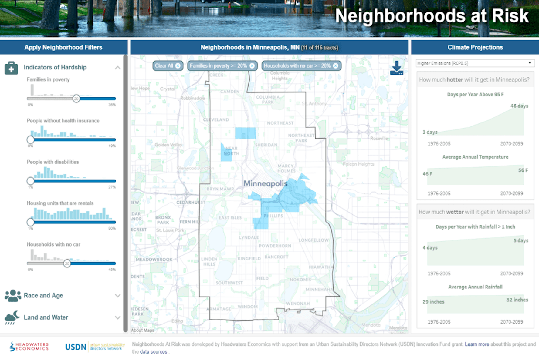
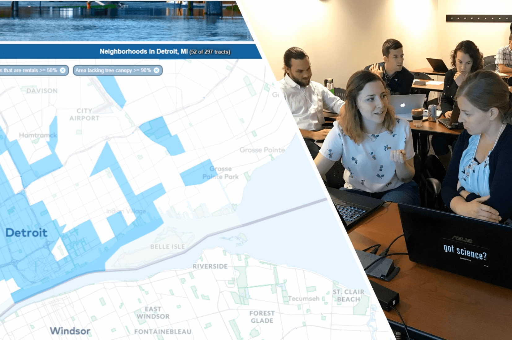
Headwaters collects extremely granular data to tell stories about land use and climate change in the U.S. Working with Tableau Foundation, they’ve been able to translate that data into visualizations that clearly articulate the aims of their research and advocate for action.
Data to inform accurate Census representation
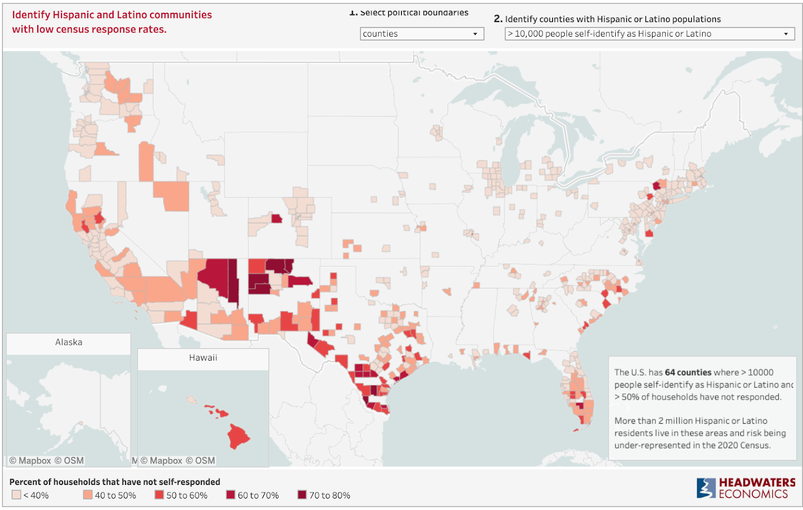
Where communities of color are most at risk of a Census undercount
An accurate Census count is critical for funding, accurate political representation, and more. Headwaters built dashboards to enable community organizations to ensure traditionally undercounted groups are represented.
Read More