Série de webinaires
All over the map: Visualizing geographic data
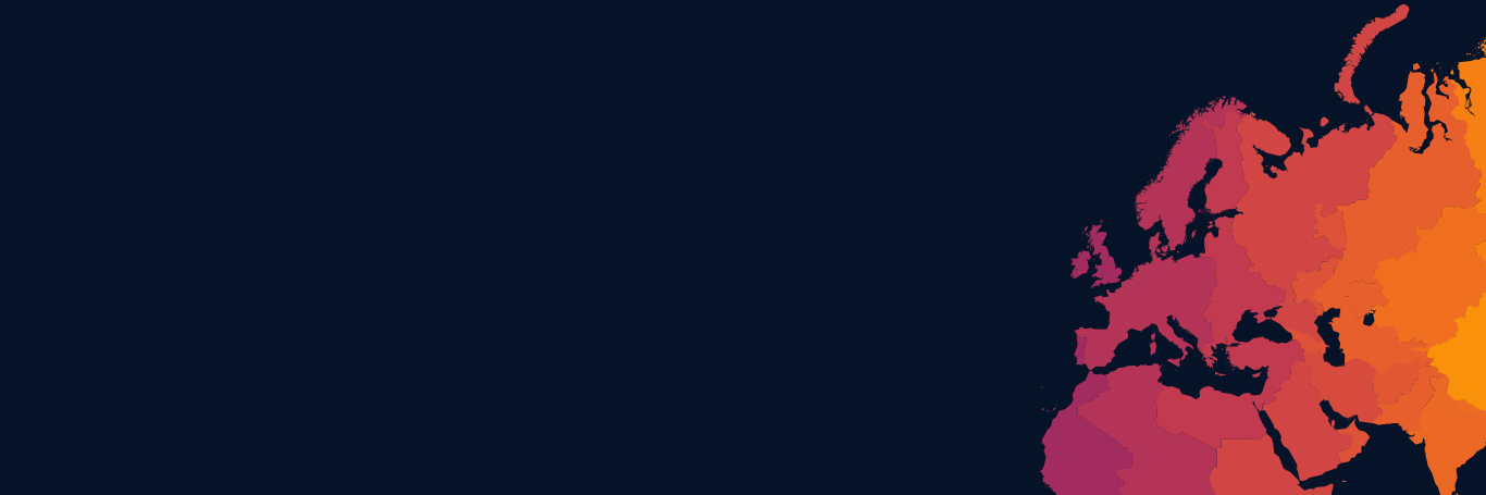
Tableau is designed to make the most of geospatial data, so you can get to the “where” as well as the “why.” With instant geocoding, you can automatically turn the location data and information you already have into rich, interactive maps to help your data come to life and tell a story. Census-based population, income, and other standard demographic datasets are built-in so exploring the data becomes a breeze with just a few clicks.
This three-part webinar series highlights some of Tableau's extensive mapping capabilities, as well as offering tips for how to customize your maps, share your analysis with others, and make your data shine.
Webinaires à la demande
| Titre | Durée | |
|---|---|---|
A Beginner's Guide to Maps
This webinar shows you a wide range of mapping features in Tableau. Watch and learn how to build several different types of maps using geocoding and spatial connectors. We’ll dive into best...
|
58 min | Regarder maintenant |
My Boss Told Me to Draw a Map: Mapping Best Practices
Maps are a popular way to visualize data, but selecting the best options can be overwhelming and lead to mistakes. Beyond adding icons to a map or color-coding specific areas, Tableau has some...
|
58 min | Regarder maintenant |
Advanced Mapping Techniques
For organizations that need to analyze data geographically to drive their business, it is critical that they can unlock "where" outliers and patterns are occurring. In this webinar, find out how...
|
63 min | Regarder maintenant |