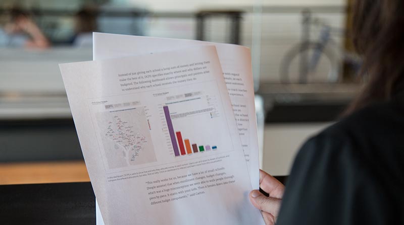
Map Your Data for Deeper Insight
Free Whitepaper
Upgrade your analytics and learn how to integrate geographical maps into data visualizations.
Mapping data helps people see their information in relevant, insightful ways to make better decisions.
Incorporate maps into your day-to-day analysis, reports and dashboards:
- Quickly create interactive maps.
- Add relevant data for depth.
- Drill into regions and subregions for refined answers.
- Customize with ease.
We use the mapping feature in Tableau a lot because, as a cable company, our regional differences are very important. Using traditional tools like Excel, it’s difficult to get a sense of what the geographic data means without actually seeing it. When you see the data on the map, you can actually see what it means and what the different regions are.


